products
solutions
developers
company
contact us
pricing
Mappedin pricing & subscriptions
Map your indoor space with the right subscription
Map in minutes
Mappedin
Free$0 per map/mo
Map for free!
The easiest and quickest way to map your indoor space for free.
- Unlimited maps and floors
- Single editor
- AI-powered mapping
- 3D interactive maps
- Location markers
- Safety icon library
- Export to PDF
- Built-in navigation
- Shareable link and QR code
- Mappedin iOS app
Includes:
Most Popular
Advanced mapping
Mappedin
Plus$25 per map/mo
$30 when billed monthly
Collaborate with more powerful tools to craft maps that work for you.
- Unlimited editors
- Team workspaces
- Location details
- Custom markers
- Premium themes
- Role assignment
- Export (SVG, gITF)
Everything in Free, and:
Early Access
Integrate and connect
Mappedin
Pro$165 per map/mo
$200 when billed monthly
Build apps with our indoor mapping platform.
- Mappedin SDK for Web
- Advanced AI mapping
- Flexible styling
- Map view manager
Everything in Plus, and:
- Volume pricing
- Professional services
Add-ons:
Full-service mapping
Mappedin
EnterpriseCustom
Contact us for details
Enterprise-grade solutions to map any space to your specifications.
- Custom-built maps
- White-label branding
- Enterprise-grade security (SOC2)
- Advanced integrations
- Dedicated support
- Advanced routing
- Multilingual support
- Multi-floor visualization
- Export (GeoJSON, IMDF, Shapefile)
- Mappedin SDK for Web, React Native, Android & iOS
Includes:
- Professional services
- Custom integrations
- Mappedin Directory
- Indoor positioning system
Add-ons:
Prices in $ USD. For Plus and Pro, pricing per map, billed monthly or annually. Discount applied with annual subscription.


Enterprise Add-ons
Supercharge your maps
Customize and scale your Mappedin enterprise experience.
![Zoomed out view of a map]()
Professional services
Let our professional mapmaking team build the right map for you. With experts on your side, get your map looking the way you want quickly.
![A mappedin directory kiosk in a mall]()
Mappedin directories
From malls to stadiums, transform your space with the most powerful directory available.
![A woman sitting at her laptop with a coffee]()
Custom integrations
Connect your maps to your favorite tools and visualize data seamlessly.
![Mappedin blue dot example]()
Indoor positioning
Enable live location for your visitors and provide a blue-dot experience indoors.


Compare all subscriptions
Map making
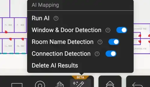
AI-powered mapping
Transform floorplans to interactive maps in seconds

Basic
Basic
Advanced
Advanced
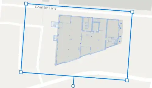
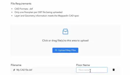
File upload (PDF, CAD, PNG, JPEG)
Import any file type to create a base map
Mappedin iOS app
Scan, upload, edit: LiDAR to floorplan in minutes

Base map
Foundational layer for interactive maps
3D interactive map
Give users realistic locations to search, zoom, and navigate

World positioning
Align your map to real-world coordinates
Cross-platform
Build maps across platforms
Map update automation
Upload changes and automatically update your map
Professional services
Mapmakers on call for complex mapping
Design & styling
Map editor
Create, update, and share indoor maps on one easy platform
Enterprise CMS
Multiple floors
Include unlimited amount of floors and levels
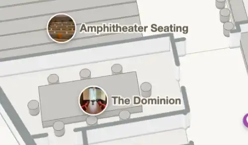
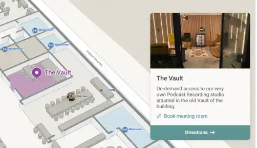
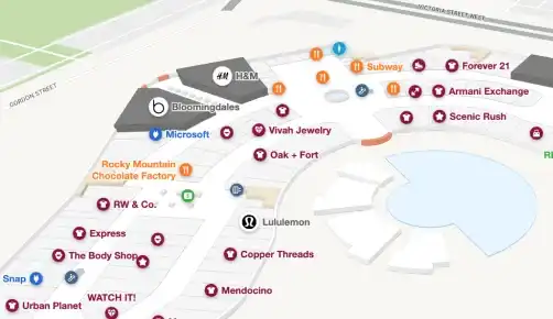
Location markers
Identify and label key areas on your map
Custom image
Custom image
Custom
Location information
Include details of location (e.g: store hours, brand names, etc)

Name
Name, descriptions, links, images
Name, descriptions, links, images
Custom
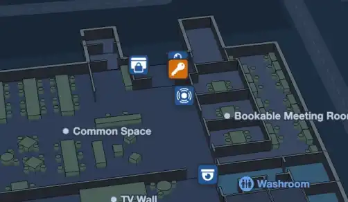
Safety icons
Identify emergency POIs with standard icons for quick access
Styling & themes
Leverage themes and tools to design maps your way

Basic
Premium
Custom
Enterprise-level
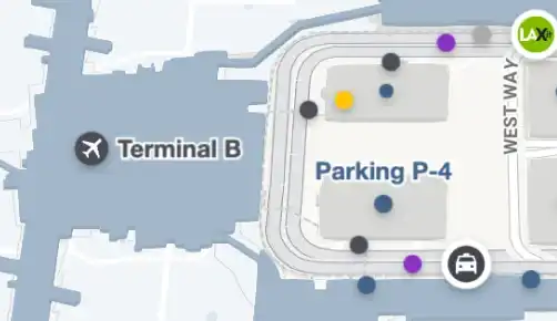
Multi-building view
Zoom in and see indoors for multiple buildings
Basic
Basic
Dynamic
Dynamic
Multi-floor visualization
View multiple floors at once for easy multi-level navigation
Industry themes
Detailed styling and themes for specific industries
White-label branding
Brand maps with your logo and colors
Navigation
Search
Find anything fast with our advanced search function
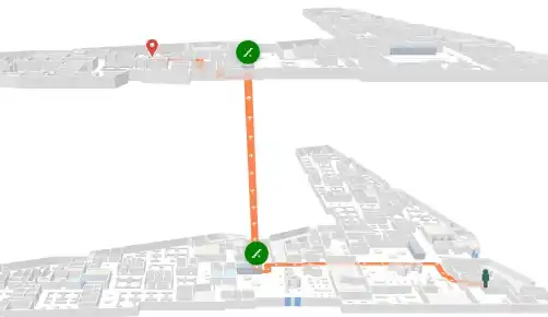
Routing
Guide visitors across floors and locations
Custom
Multi-floor directions
Direct visitors from any floor or level

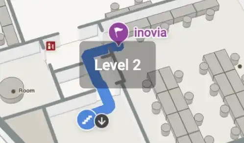
Accessible directions
Prioritize barrier-free pathways and elevators for multi-floor spaces

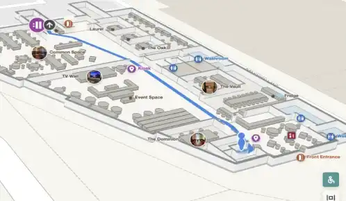
Turn-by-turn directions
Step-by-step guidance for any indoor space
Blue-dot experience (Add-on)
Enable live location indoors

Publishing
Embed code snippet
Embed 3D maps with just a few lines of code
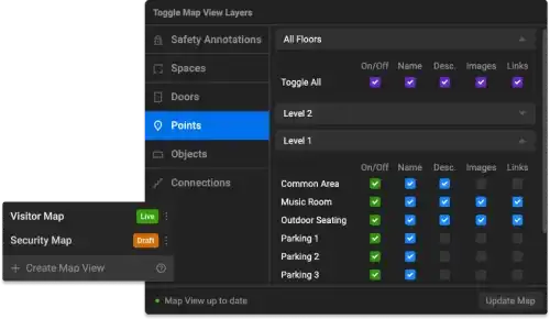
Map view manager
Create different map views for different audiences
Website integrations
Easily integrate interactive maps to select website platforms
Directories (Add-on)
Inform and impress with our most powerful directory experience

Sharing & collaboration
Shareable link
Share custom links for instant map access
QR codes
Generate QR codes to give users instant access

Export file types
Export your maps in several formats
PDF (Safety), Microsoft Places IMDF
PDF (Safety), SVG, gITF, Microsoft Places IMDF
PDF (Safety), SVG, gITF, Microsoft Places IMDF
GeoJSON, Shapefile, gITF, IMDF, MVF, PDF, Microsoft Places IMDF
Collaborative workspaces
Create a centralized hub for your team
Invite and assign roles
Assign roles to control how your team collaborates
Mappedin iOS app
LiDAR room scanning
Quickly scan any space using LiDAR technology

Floorplan creation
Create a digital floorplan of your indoor area
Upload to editor
Easily upload your floorplan and unlock full editing
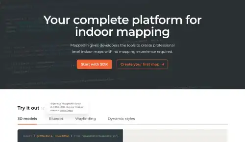
SDK & integrations
SDK access
Set of tools to build apps with indoor maps
Web
Web, React Native, Android & iOS
Styling tools
Customize the look and feel of your map
Map interactions
Choose from hover to click to display information
3D models
Increase realism and context with 3D models
Data visualization
Display data with heatmaps and other visualization types
Esri ArcGIS integration
Include your indoor maps in Esri maps
Power BI integration
Map indoor analytics events in Power BI reports
Wordpress plugin
Include your indoor maps on any Wordpress website
Custom integrations
Build complex integrations to meet your application needs
Data sync
Keep data up to date with automated imports
Analytics
Integrate data for location-based visualizations for your indoor space
Admin & security
Managed access (Coming soon)
Set map viewing permissions
Custom T&Cs
Create and set tailored T&Cs specific to your agreement
SOC 2, Type 2 compliance
Get Enterprise-grade protection for your data
Support
Help articles
Search our knowledge base for quick answers
Email support
Receive guidance from our dedicated support team via email
Developer community
Connect, collaborate, and grow with fellow coders
Developer documentation
Comprehensive guides for software developers and engineers
SDK support
Reach out to our internal team of developers for support
Chat support
Get real-time customer assistance through chat
Dedicated success team
Personalized support for any of your needs
SLAs
Guaranteed performance commitment
“This is the most important tool for saving first responders and victims lives in the past 50 years.”
Michael J Fagel, PhD
Critical Infrastructure Analyst, INL, National & Homeland Security Directorate